1. Faster & More Accurate Site Surveys
Traditional land surveys can take days. Drones complete large plots within hours, capturing high-resolution aerial data with precision.
This helps engineers design better solar layouts and avoid costly land-related issues later.
2. High-Resolution Aerial Imaging
Drones equipped with advanced cameras identify:
Shading obstacles
Land contours
Hotspots
Panel defects
Alignment issues
This ensures better planning before installation and better performance after commissioning.
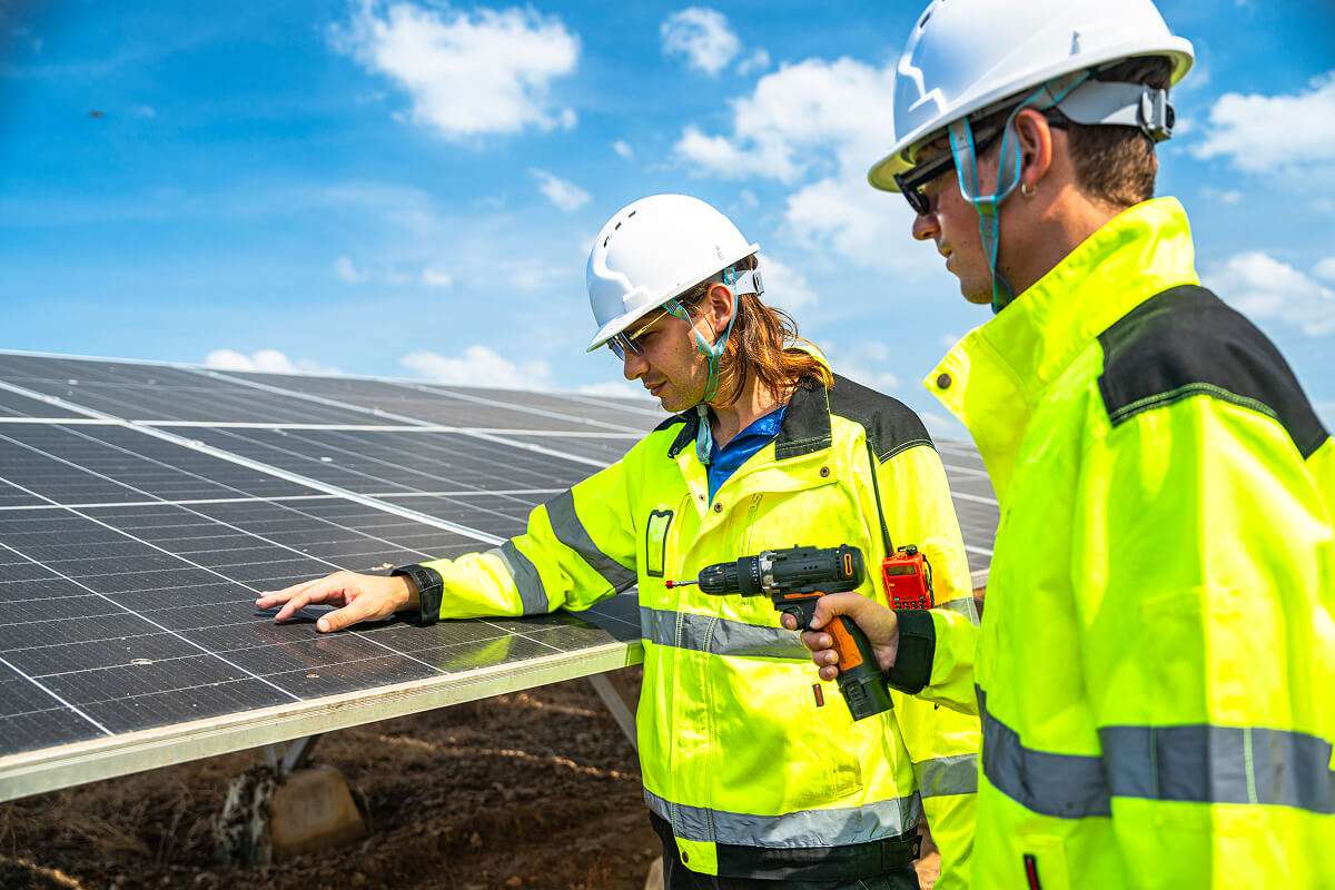
3. Thermal Scanning for Fault Detection
One faulty panel or hotspot can reduce the output of an entire solar string.
Drone thermal imaging instantly detects issues such as:
Hotspots
Faulty bypass diodes
Connection errors
Damaged panels
This reduces costly downtimes and increases plant efficiency.
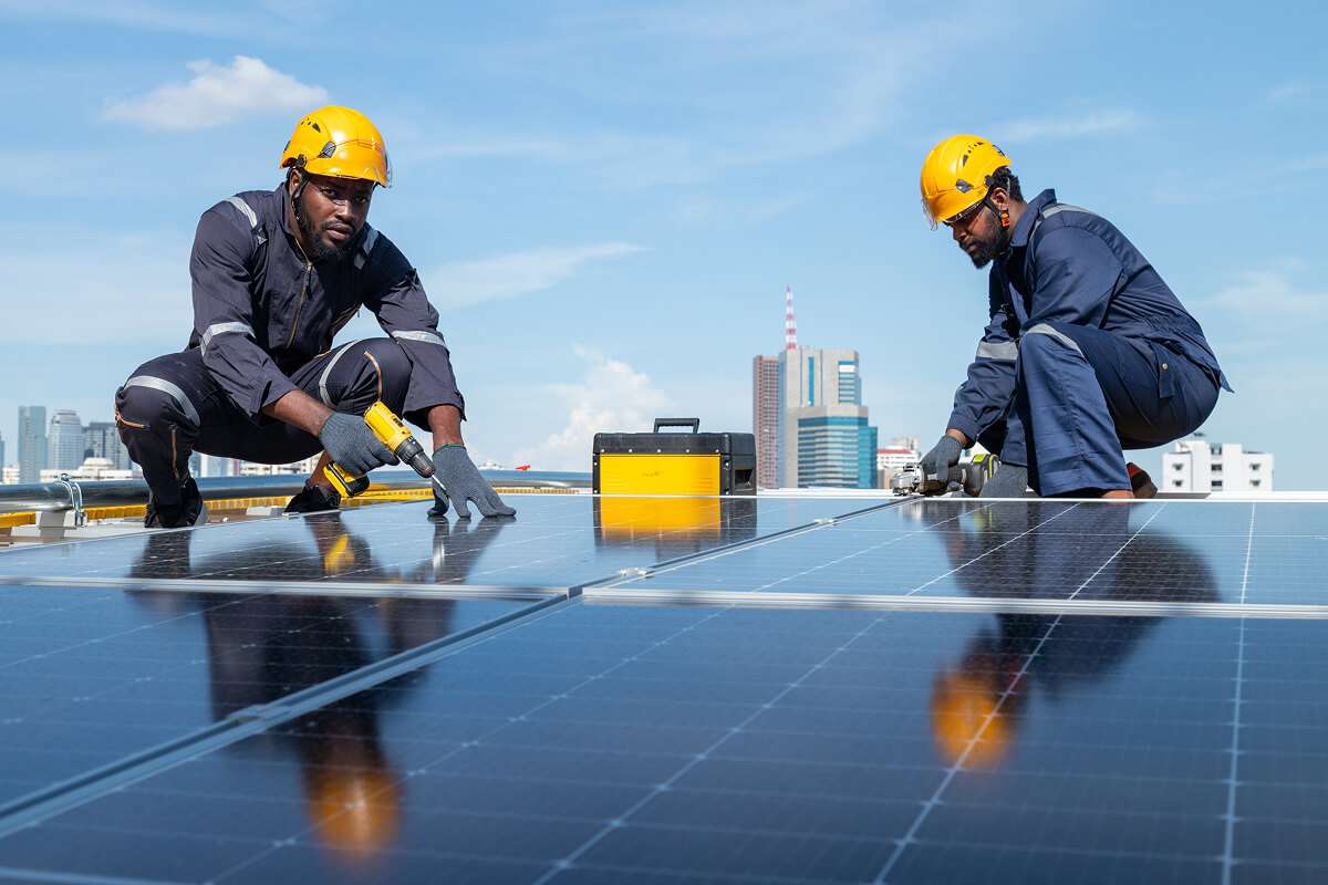
4. Reduced Time & Cost
Drone-based inspection reduces manpower requirements and allows faster, safer, and more detailed inspections compared to manual checking.